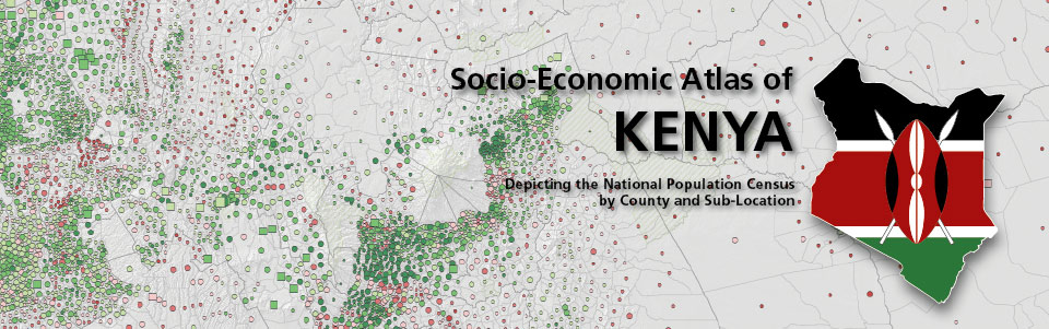
The second, revised edition of the Socio-Economic Atlas of Kenya is available now for online view and for download.
Visualizing the Present, Envisioning a Sustainable Future
Together with its partners in Kenya, CDE released the first-ever Socio-Economic Atlas of Kenya. The atlas features high-resolution spatial depictions and analyses of data collected in the 2009 Kenya Population and Housing Census. The combination of geographic and socio-economic data enables policymakers at all levels, development experts, and other interested readers to gain a spatial understanding of dynamics affecting Kenya.
Where is the informal economic sector most prominent? Which areas have adequate water and sanitation? Where is population growth being slowed effectively? How do education levels vary throughout the country? And where are poverty rates lowest? Answers to questions such as these, grouped into seven broad themes, are visually illustrated on high-resolution maps. By supplying precise information at the sub-location level and summarizing it at the county level, the atlas facilitates better planning that accounts for local contexts and needs.
It is a valuable decision-support tool for government institutions at different administrative levels, educational institutions, and others. Three organizations – two in Kenya and one in Switzerland – worked together to create the atlas: the Kenya National Bureau of Statistics (KNBS), the Nanyuki-based Centre for Training and Integrated Research in ASAL Development (CETRAD), and CDE. Close cooperation between KNBS, CETRAD, and CDE maximized synergies and knowledge exchange.